Geography
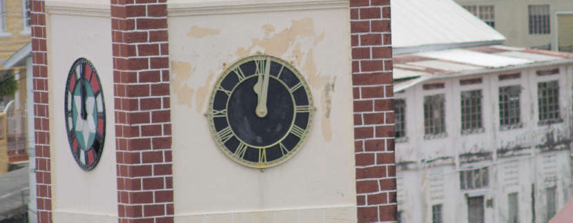
Grenada “Isle of Spice”, Carriacou and Petite Martinique are commonly called the tri island state. In addition there are several smaller offshore uninhabited islands and islets which are under the jurisdiction of Grenada situated in the southern Caribbean 90 miles north of Trinidad and 158 miles east of Barbados.
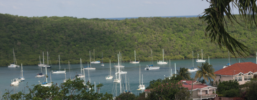
The islands are volcanic in origin, covering approximately 120 square miles. The highest peak is Mt. Catherine 2,756 feet. Most of the main island is carpeted by thick lush evergreen forest, while the surrounding shores are bathed by crystal clear waters.
QUICK FACTS
Official Name: Grenada
Dependencies: Carriacou & Petite Martinique
Area: 3 islands, 133 sq. miles total (344 km2 )
Population: 104,000 (UN, 2009)
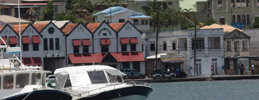
Capital: St. George’s (est. pop. 37,057)
Location: 12.07° North 61.40° West
Highest Point: Mt. St. Catherine (2,757 ft)
Time Zone: EST+ 1; (GMT – 4:00)
Climate: Tropical – avg. temperature of 75ºF (24ºC)
International dialing code: +1473
Currency: Eastern Caribbean dollars (XCD)
Major Languages: English (Official), French patois
GNI per capital: US $4,670 (World Bank, 2007)
Current Labour Force: 40% of population
Literacy Rate: 94%
Airport: Maurice Bishop International Airport (MBIA)
Business Climate
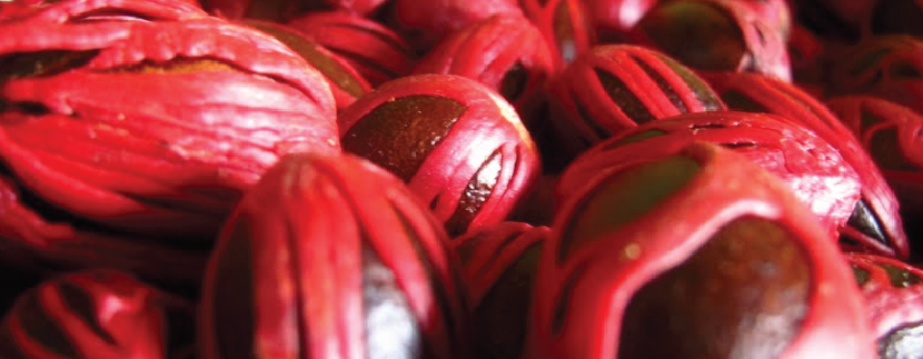
Due to our colourful history and virgin like countryside, Grenada has become a destination of choice for investors and visitors who want a bit of both worlds; where one can own property and live comfortably in a tropical paradise with year round sunshine.
Grenada provides strong investment opportunities, supported by a stable democratic government.
The Government of Grenada is committed to the development of agriculture, manufacture, tourism and aqua marine industries. Our mother language is English which makes communication easy, and our currency is the Eastern Caribbean dollar exchanged at a fixed rate of $1.00 US equal $2.70 EC.